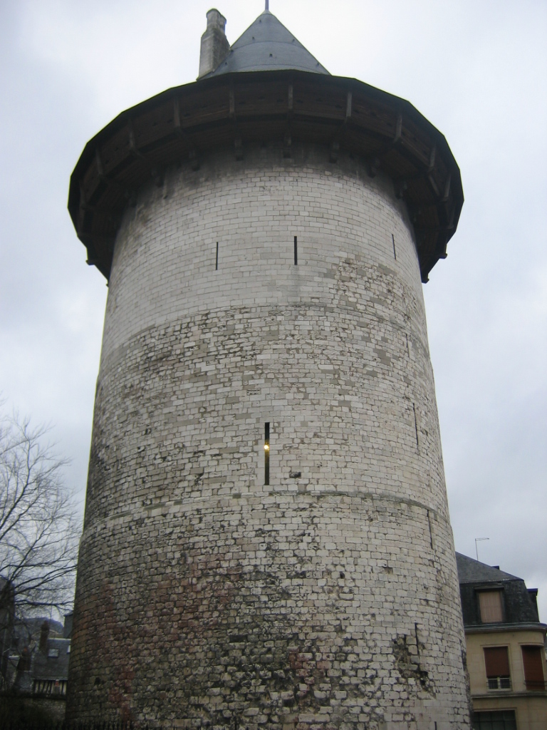
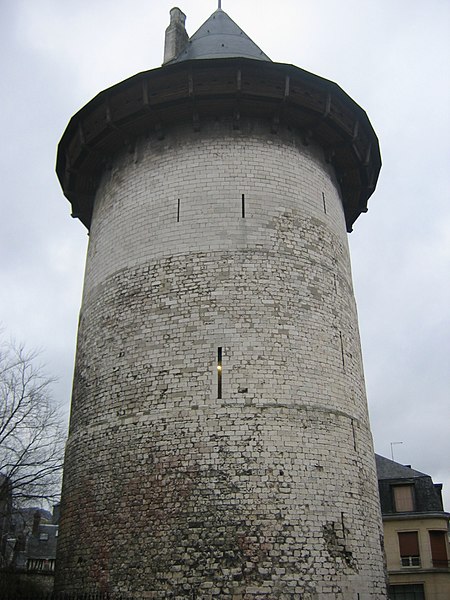
File:Tour Jeanne D'Arc10.jpg
A fragment of the Garden of Remembering
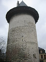
Size of this preview: 450 × 600 pixels. Other resolutions: 180 × 240 pixels | 768 × 1,024 pixels.
Original file (768 × 1,024 pixels, file size: 386 KB, MIME type: image/jpeg)
|
This building is indexed in the base Mérimée, a database of architectural heritage maintained by the French Ministry of Culture, under the reference PA00101011
|
Rouen, tour Jeanne d'Arc. Personal picture taken by user Urban 2005

|
Permission is granted to copy, distribute and/or modify this document under the terms of the GNU Free Documentation Licence, Version 1.2 or any later version published by the Free Software Foundation; with no Invariant Sections, no Front-Cover Texts, and no Back-Cover Texts. A copy of the licence is included in the section entitled GNU Free Documentation Licence. |
| This file is licensed under the Creative Commons Attribution-Share Alike 3.0 Unported licence. | ||
| ||
| This licencing tag was added to this file as part of the GFDL licencing update. |
| Object location | | View this and other nearby images on: OpenStreetMap |
|---|
File history
Click on a date/time to view the file as it appeared at that time.
| Date/Time | Thumbnail | Dimensions | User | Comment | |
|---|---|---|---|---|---|
| current | 18:54, 12 December 2011 | | 768 × 1,024 (386 KB) | Rotatebot | Bot: Image rotated by 180° |
File usage
The following page uses this file: